


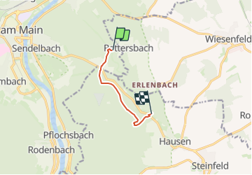

10.2 km | 12.5 km-effort


Tous les sentiers balisés d’Europe GUIDE+


FREE GPS app for hiking
 SityTrail
IGN / Geographical institutes
SityTrail World
The world is yours!
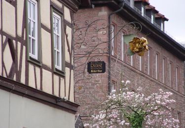
Trail On foot of 4.5 km to be discovered at Bavaria, Landkreis Main-Spessart, Lohr am Main. This trail is proposed by SityTrail - itinéraires balisés pédestres.
Trail created by Heimat- und Geschichtsverein Steinfeld-Hausen-Waldzell.
Website: https://hgv-steinfeld.de/alternativweg.html

On foot

On foot
On foot
On foot
On foot
On foot
On foot
On foot
On foot